
Java, ArcGIS, Eclipse
During my 4 weeks of internship at DRDO, I learned how the ESRI ArcGIS platform works and how efficiently it can load a map from very massive images that otherwise would take a lot of processing if shown directly without any efficiency. The efficiency of the system lies in the fact that it breaks the data into tiles and then displays them tile by tile.

The motive of my project problem statement was to apply these techniques of the platform and develop a JAVA based application that runs completely offline with the help of the ArcGIS Runtime SDK which will have some functionalities of the Original Paid Platform.
In the duration of my Internship, I had implemented several functionalities such as the display of the map from a tile package which can be added and as several of them are added together it automatically stitches them together.
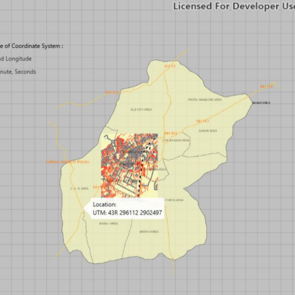
My work also involved displaying the coordinates of a map point in various formats so that it can be used according to the requirements of the user. And lastly the displaying of various features from the shapefile of a point on the map.